Prithvipraroop: The eTOD SaaS
Global Coordinates developed Prithvipraroop, our easy-to-use eTOD (electronic Terrain and Obstacle Data) SaaS. This platform provides digital access to critical aeronautical data, fulfilling ICAO and DGCA compliance requirements.
Features
- ✔Digital Data Access: Instant access to comprehensive Terrain and Obstacle Datasets.
- ✔Regulatory Compliance: Data created in accordance with DGCA CAR Series ‘B’ Part I and ICAO Annex 15 standards.
- ✔Pilot Projects: Successfully published data for major aerodromes, including a pilot project
for Santacruz and Delhi. - ✔User-Friendly Interface: An intuitive platform designed for aviation professionals, planners,
and regulatory bodies.
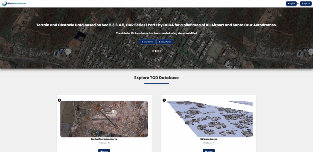
TOD for Santa Cruz Aerodrome
Terrain and Obstacle data has been created using data mining from all the revised NOC’s issued for enhanced height through Aeronautical Studies for Santa Cruz Aerodrome in the years 2018 – 2023 as well as the obstacles published in the AIP. Since an Aeronautical Study is only carried out when a proposed structure penetrates the OLS, all such structures/buildings qualify for being part of the obstacle database as stated in Sec 5.3.3.4.5, CAR Series I Part I.
All the NOC’s for which enhanced height has been granted through the process of Appeal and Aeronautical Studies as published in the MOM of the Appeal Committee as well as the AIP have been collected and plotted in a GIS environment. The digital data thus created has been overlaid on Cartosat-3 Mx geo-referenced satellite imagery with a resolution of 1.12m. All visible building footprints have also been captured. The distance of the nearest coordinate of each NOC polygon + Obstacle listed in the AIP has been calculated from the Runway end as well as Runway strip to calculate the penetration of the OLS surface and the TOD Obstacle collection surface. All this data has been tabulated and linked to the NOC polygons + Obstacles published in the AIP. This meets the requirement of TOD as required by CAR Series I Part I.
Presentations for Santa Cruz eTOD Project
TOD for IGI Aerodrome
Terrain and Obstacle data has been created using stereo satellite imagery ( 50cm resolution) for a pilot area by extracting the x,y,z of all existing obstacles within the AOI available on the collection date of the satellite imagery. Following the creation of the Obstacle database in real earth coordinates, the authenticity of the data has been checked on ground. The existing heights issued in the NOC’s are also attached to the extracted obstacles, all obstacles with a Top Elevation more than that issued in the NOC can therefore be detected. This gives an intelligent birds’ eye view of the current situation which can be updated periodically in a relatively short time with less investment compared to a manual survey.
Presentation for eTOD DAIL Pilot Project
Videos
Live demo Video for prithvipraroop platform developed by GlobalCoordinates.
Webinar: Creation of TOD using data mining of existing AIP + NOC data.